Looking for Free LiDAR Resources?
LiDAR stands for Light Detection and Ranging. It has...
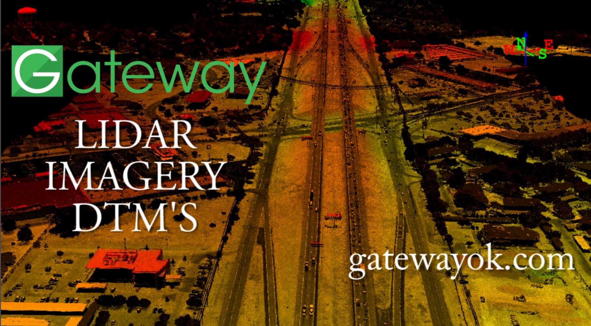
seen substantial growth and implementation over the last 10 years especially in applications involving digital elevation models (DEM,DTM). For those that are unfamiliar with aerial LiDAR, it can be a great platform for generating topographic models. The LiDAR data allows you to remove any above ground features to visualize a "true lay of the land." Having an accurate DEM/DTM can be extremely helpful with floodplain modelling, housing and industrial development and environmentally sensitive areas because the amount of topographic data is so robust.
When aerial LiDAR data is gathered during a mission, you are getting millions of georeferenced x,y,z points that create the elevation model. It would take "10X," or more depending the size of the project, in survey crew hours to measure in the data. Another benefit to airborne LiDAR, is that there aren't the canopy (tree coverage) issues that exist in other platforms. If light can get through, then a measurement can be made from one or more of the returns. Heavily vegetated areas are a great use-case for aerial LiDAR as well.
Gateway has been in the LiDAR business for over 6 years. We purchased our first aerial LiDAR unit, with the intent of bringing high quality georeferenced data to our customers. In the event you are needing a current georeferenced DEM/DTM, please check out our website or call us directly.

Free LiDAR Point Cloud Sources...
