Is Aerial LiDAR Effective for Airport Obstruction Surveys?
Airborne LiDAR can be used...
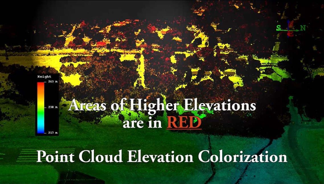
to accurately georeference and depict millions of x,y,z coordinates after one aerial mission. With the improvement of LiDAR technology, point clouds with highly detailed elevation models can be generated. This is one of the reasons it is extremely effective for Airport Obstruction Surveys. A primary goal in these types of surveys is to accurately geolocate vertical objects (VO's), such as towers, buildings, poles, trees and antennas that penetrate airport's obstruction identification surfaces (OIS). Any obstacle that penetrates these surfaces are identified as an "obstruction" and must be planned for when designing safe approach and departure procedures for aircraft.
Why LiDAR for Airport Obstruction Surveys???
- One aerial LiDAR mission can capture millions of georeferenced points
- Simultaneously supports terrain mapping and extensive data for evaluating OIS penetrations
- Data gathered during LiDAR acquisition supports Airport GIS projects
- Gateway can collect aerial imagery while completing the LiDAR mission
What about turnaround time for my data???
One of the benefits of collecting data via airborne LiDAR is the processing time. If the same data set was being prepared and processed by conventional or stand-alone GNSS means, it would take an insurmountable time-frame to complete. With Aerial LiDAR, you have a highly detailed and robust data set and 3D model in less time. The extensive data gathered, fits well into the requirements for an airport observation survey, but can also be used to support airport GIS projects and additional planning. We understand that each client's project requirements vary and have an experienced team to help you explore if LiDAR is a good fit for the scope of your next project. If you would like us to assist in reviewing a scope and discussing LiDAR with you...
You can reach us by phone at 405-285-5884 or by clicking the link below:


