What Can GIS be Used for...
with asset management, organization, and utilization? That is one of the questions we frequently receive from clients that aren't familiar with the benefits of GIS technology. If you are unfamiliar with the term; GIS stands for Geographic Information System. It is a system designed to gather, store, manipulate, analyze, manage, and present all types of geographical data. At least some portion of the data is spatial (geographic) and is presented on a map. GIS programs allow for large amounts of information to be analyzed and visualized via layers on a map. These GIS layers on the map can be turned on and off depending on the need for that information, but your data is always there and in one convenient location.
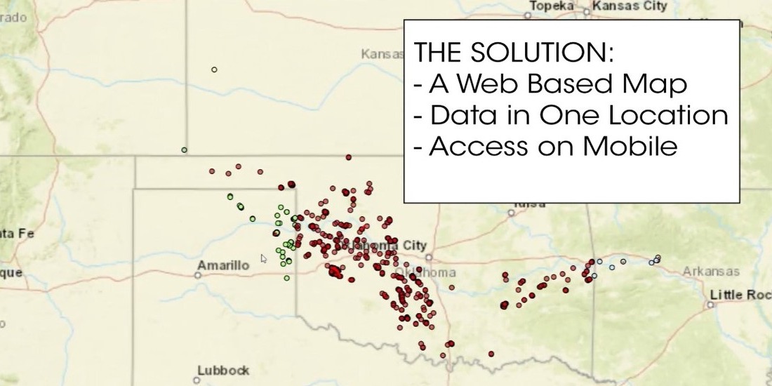
Gateway recently completed integrating a GIS website for one of our customers. The client was concerned with large data sets being updated by more than one individual. They also needed to locate all of this information in one place, while making their spatial data more useful to office and field personnel. We started analyzing the data sets and from the start realized there were over 120 files of multiple types. This included KMZ's filled with unsearchable locations as well as older PDF maps. Our goal was to take this data and make it searchable, stored in one location and available to both office and field personnel.
- Watch our Video -
on how we Improved the Usability of our Customer's Data
Benefits of GIS Include:
- All spatial data in one location and interconnected to assist in decision making
- Attributes and data analysis are customizable to your needs
- Cost savings through greater automation and operational efficiencies
- Mobile and office use of the same data improves communication between the field and office
- Effective data management and storage ensuring that only one set of data is updated and changed
Interested in learning more about how GIS can help your team?